 About us


Alberding A07-RTK-M telemetry and positioning system
System Description
Show more
Show less
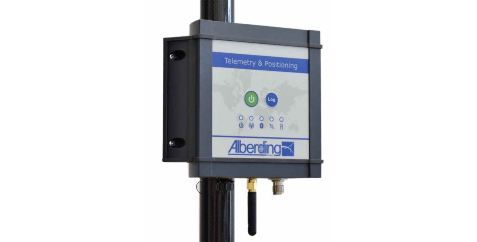
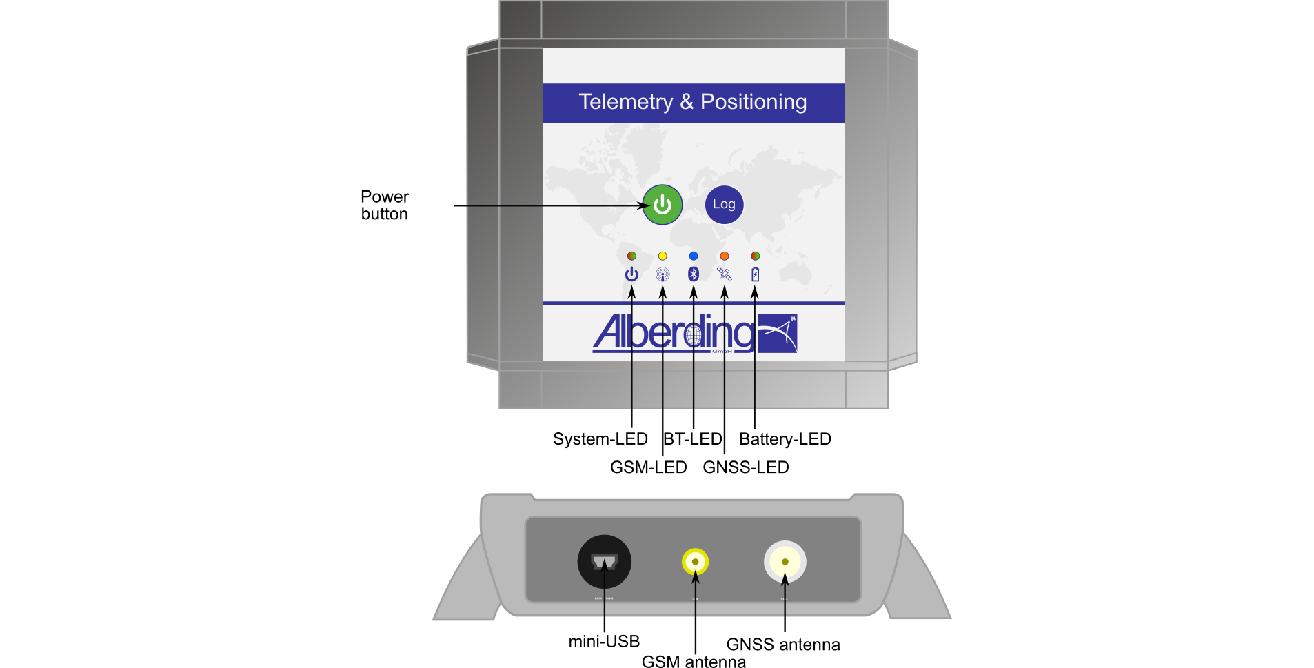
The Alberding A07-RTK-M is a powerful L1/L2 RTK GNSS receiver for centimetre-level accurate real-time positioning. The system combines an L1/L2 GNSS board, an LTE modem, a Bluetooth module with antenna, a memory card, a rechargeable LiPo battery and several other components in one case. The core of the system is an integrated processor, controlling the sensor components and transferring data automatically.
The A07-RTK-M is designed in a robust metal case with a waterproof USB port. The A07-RTK-M uses an external GSM antenna and a powerful rechargeable battery as standard. The use of the L1/L2 GNSS board reduces significantly the initialization times of the RTK-M.
A07-RTK-M Key features:
|