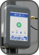
The Alberding A07 system covers a variety of application fields due to its flexible configuration. It supports
both static and dynamic applications and can transfer GNSS data in real time or store the observations internally to upload the data to a
server at regular intervals. Depending on the application scenario, DGNSS position information or GNSS raw data needed for further
processing can either be logged on the A07’s internal SD card or sent to a server or external device.
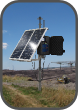 |
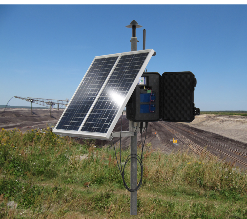
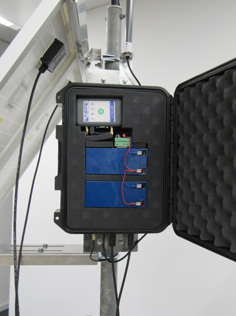
Autonomous monitoring system
With the monitoring version of the A07, sub-centimetre level accuracy can be achieved. This static, weatherproof and autonomous system
– powered by solar panels – sends GNSS raw data via GPRS to a server where the data can be further processed (e.g.
with our Alberding Monitoring software).
|
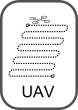 |
Possible field of application: UAV
The A07 offers suitable solutions in the UAV field: Centimetre accurate determination of flight tracks in post-mission mode,
sub-metre accurate real-time positioning of the UAV, centimetre accurate control point determination.
|
 |
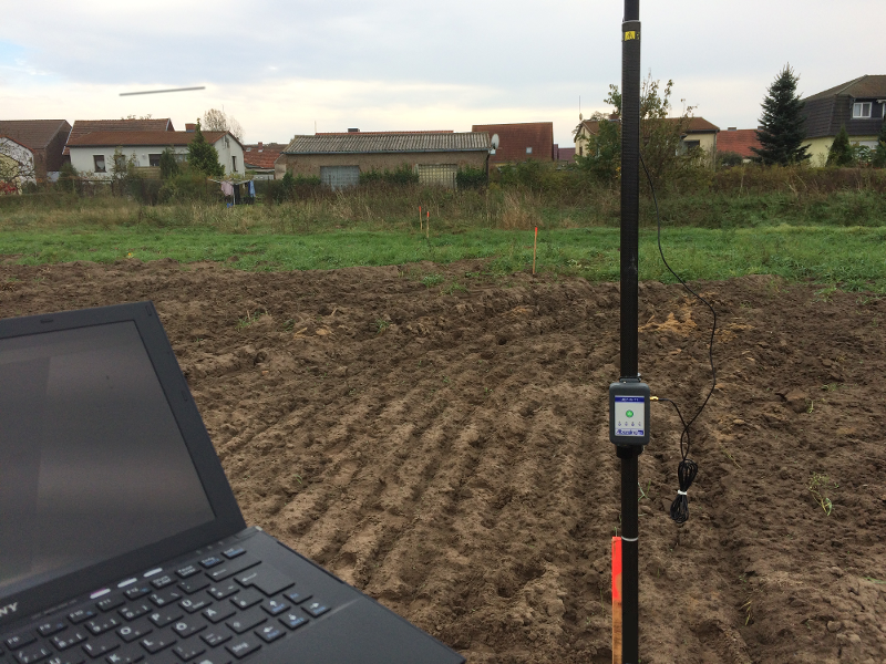
Real-time positioning and GIS data collection
Along with a proper GIS software the A07 can be used to locate field objects or collect field data, either in real time,
using the GIS software in the field, or by post-mission analysis of logged data, using office GIS software.
|