 About us


A08-RTK rover
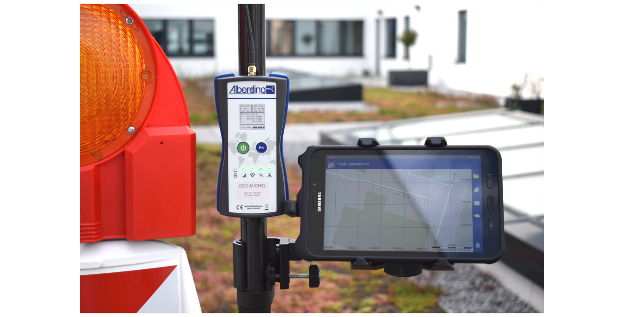
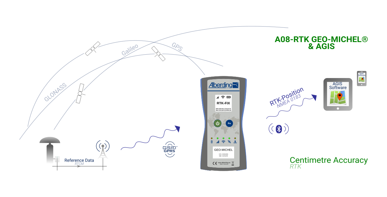
The Alberding A08-RTK GEO-MICHEL® is a powerful and scalable L1/L2 RTK system for high-precision satellite-based positioning. Together with the Alberding AGIS Mapping Software it provides a complete solution to surveying and GIS professionals for high accuracy field data collection.
Under suitable conditions, the integrated multi-frequency GNSS RTK sensor provides coordinates of the receiving antenna accurate to the centimeter after only a few seconds. The positions can be stored internally or transmitted wirelessly in standardized NMEA format to a smartphone or tablet for further processing.
The Alberding AGIS mapping software is a professional and user-friendly software with wide-ranging GIS functionalities. It runs on any Android platform (e.g. on your existing smartphone or tablet), therefore there is no need to purchase an expensive, dedicated receiver controller hardware. It stores position data in ESRI shapefiles as points, polylines or polygons. Additional information (e.g. area, length and GNSS quality information) is represented and stored in attribute tables. With the functions Navigate and Tools it is possible to stake out, recover and correct existing points. Existing GIS data (shapefiles) can be imported for this purpose.
Further information: