 About us


Alberding A08-RTK GEO-MICHEL®
System Description
Show more
Show less
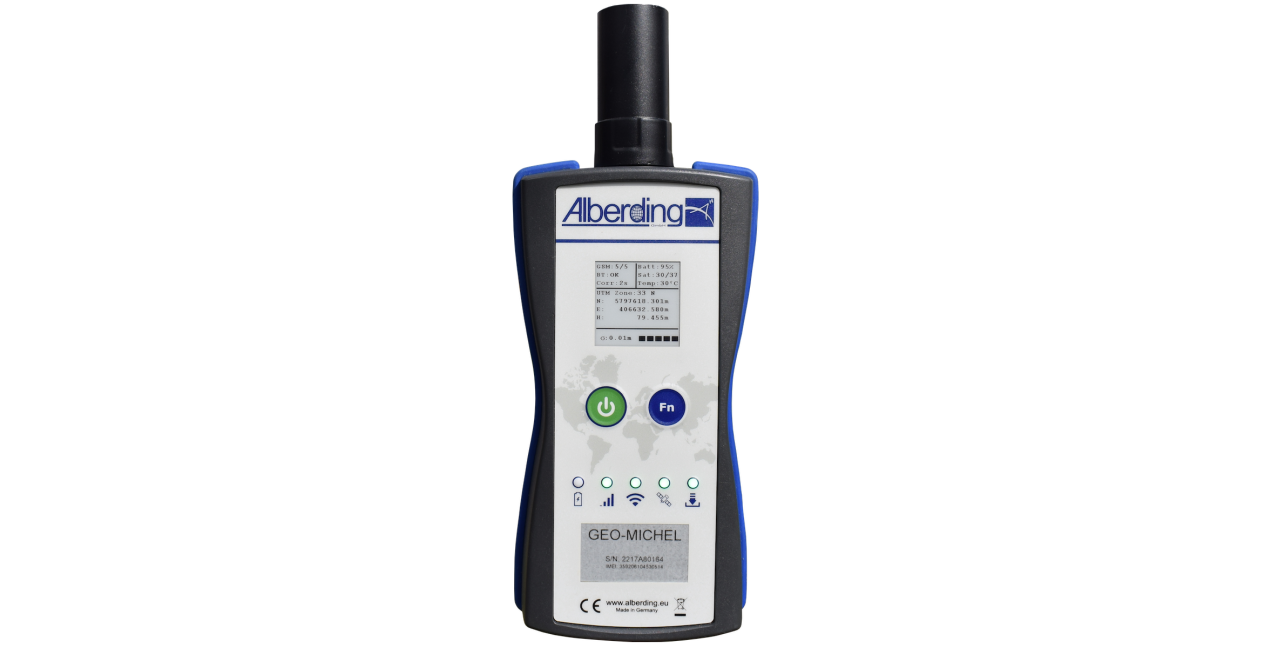
The Alberding A08-RTK GEO-MICHEL® is a powerful and scalable L1/L2 Handheld-RTK-System for high-precision
satellite-based positioning. Under suitable conditions, the integrated multi-frequency GNSS RTK receiver provides
coordinates of the receiving antenna accurate to the centimeter after only a few seconds.
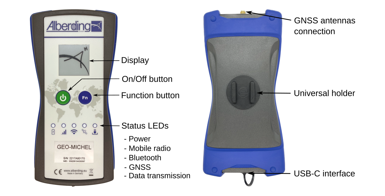
During system development, great importance was attached to compactness and ease of operation. By pre-configuring
the sensor, the measurement can be started by simply pressing a button. GNSS correction data dial-up is automated
via the integrated 4G LTE modem and Ntrip client software.
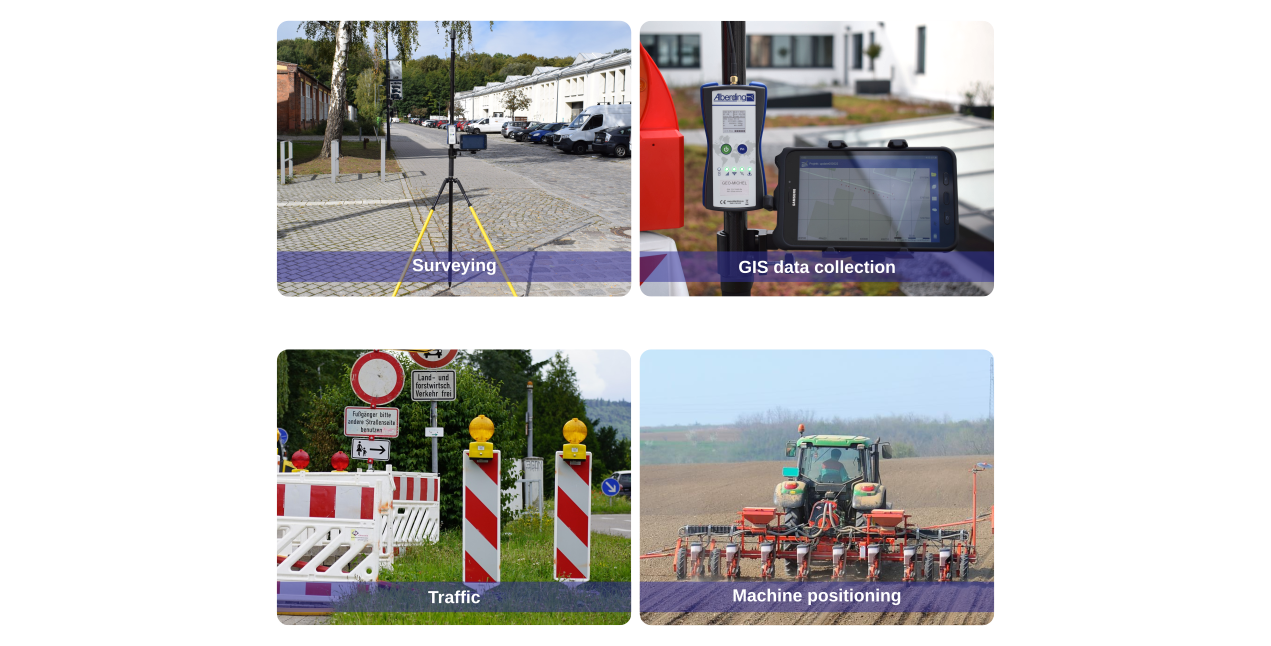
The positions, which are accurate to the centimeter, can be stored internally or transferred wirelessly in the standardized
NMEA format to a smartphone or tablet for further processing with an app. Real-time transmission of positions via
mobile radio to a server is also supported.
Information about the measurement process is provided to the operator via LED and the very easy-to-read e-paper display.
The function button (Fn) can be adapted to the tasks (e.g. saving and sending positions or recording raw data) on the software side.
The GEO-MICHEL® was primarily developed for users outside of surveying who need to record precise positions quickly, easily and cost-effectively. With a suitable GNSS antenna on the rover pole, surveyors can also benefit from the system.
A08-RTK Key features:
|