 About us


GIS / Surveying
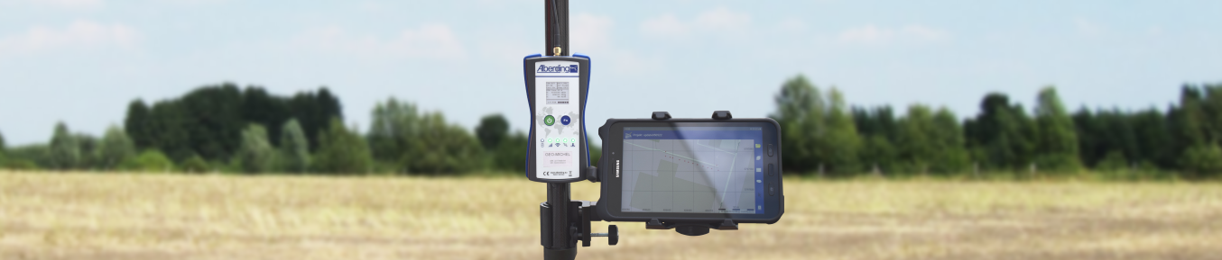
Alberding RTK sensors (A08-RTK) are used together with an application for surveying and GIS field data collection tasks.
The sensors connect to an RTK service at the push of a button, determine high-accuracy position and forward it wirelessly
to an app (e.g. AGIS).
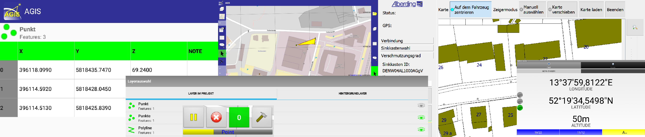
The AGIS software is used for position data acquisition as well as for the evaluation and visualisation of geodata.
In addition to the project-oriented structure of the AGIS software, points, lines and surfaces can be recorded,
geo-referenced photos can be taken and geodata can be maintained and restored.
Selected customers from the GIS and surveying sector:


