About us


")
")
")


Telemetry
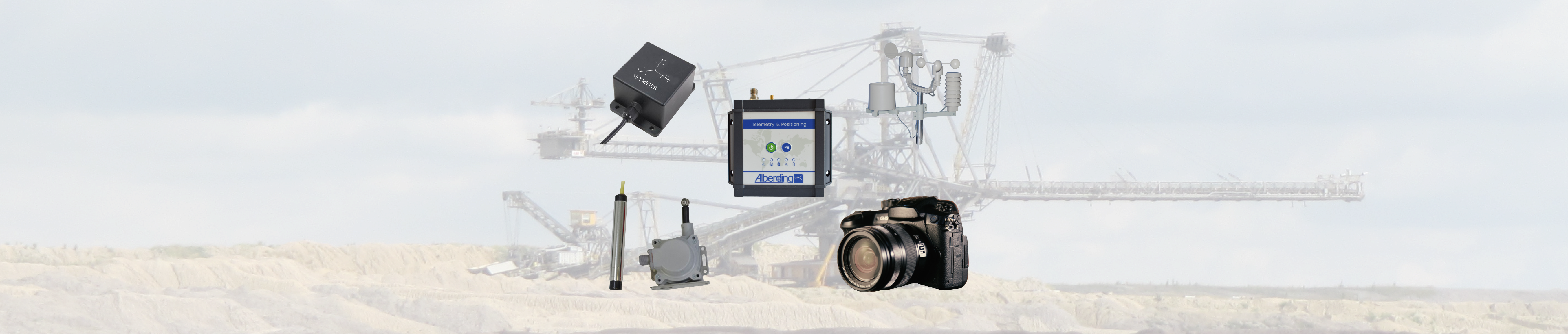
Alberding GmbH has combined telemetry and precise GNSS positioning for the first time with the A08-RTK and A10-RTK sensors and cloud solutions. The Alberding telemetry and positioning systems can be used for project data transfer, precise RTK positioning and transmission of machine data (CAN bus).
The Alberding A08 and A10 sensors combine the functionality of telemetry modules and RTK receivers. In contrast to other providers of telemetry solutions, Alberding GmbH has combined mobile data acquisition with precise satellite-based positioning (cm-dm) in the A08 and A10 sensors.

The A08 and A10 telemetry and positioning systems can also be used as „data loggers“ for external sensors (e.g. weather station, inclinometers, geotechnical sensors). The measurement data of the external sensors are transmitted together with the GNSS measurements to the server, where they are evaluated or transmitted to other processes.
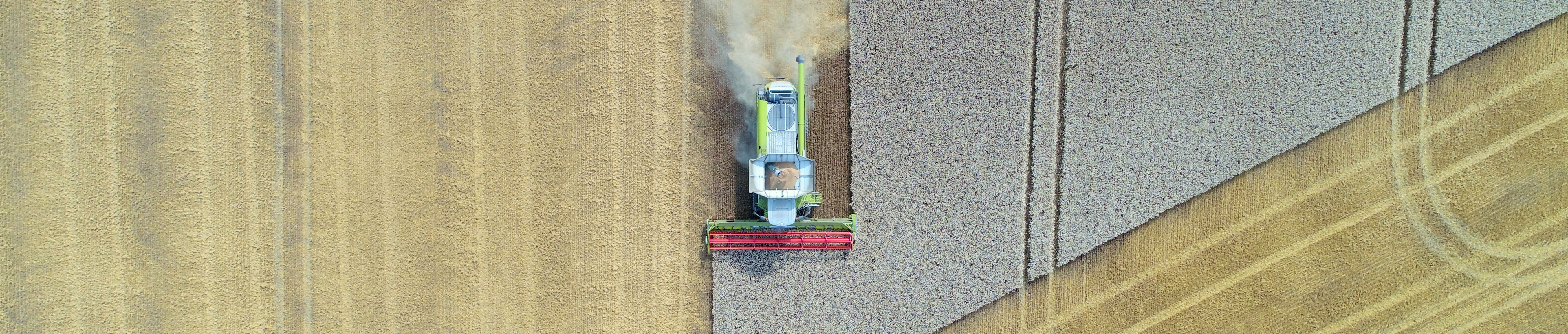
For the agricultural and construction sectors, Alberding sensors are used for the automated transmission of project data. New stations or digital terrain models for construction machinery or information for a site-specific use of agricultural land can be automatically sent from the server to the field and back again with the Alberding sensors.
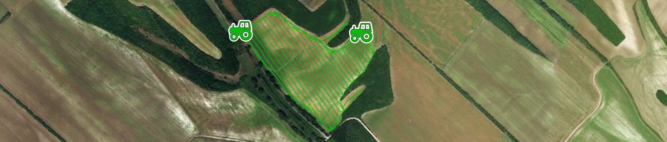
The Alberding A10 sensor is currently used in an agricultural research project for RTK positioning and storage of machine data (CAN-BUS). Among other things, the aim is to transmit field-specific information directly from the machine to farmers and agricultural service providers in order to protect this data from unauthorized use (resilience).
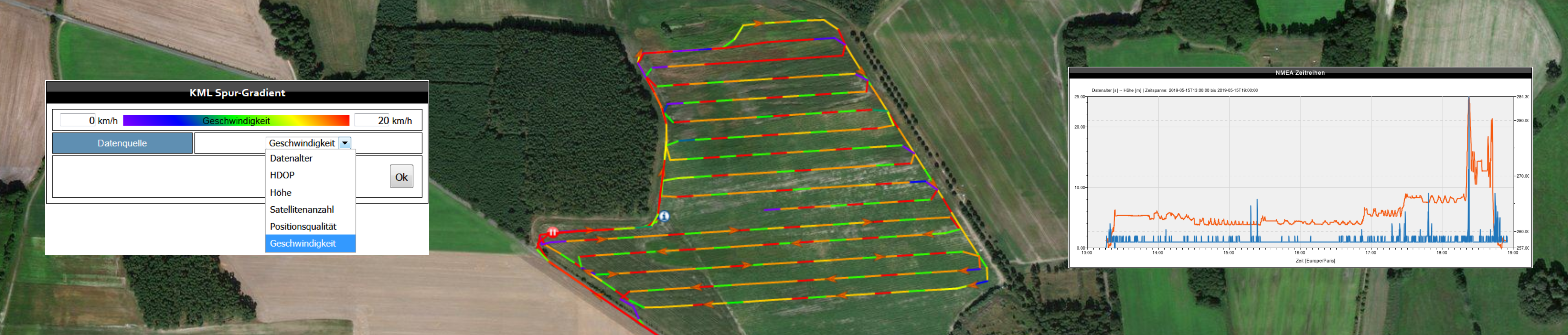
Precise lanes can be displayed on digital maps (aerial photographs, remote sensing data, cadastral or management maps) using the telemetry server. User-specific analysis functions regarding GNSS position, altitude (UAV), speed and other parameters are supported.