 About us



A08App
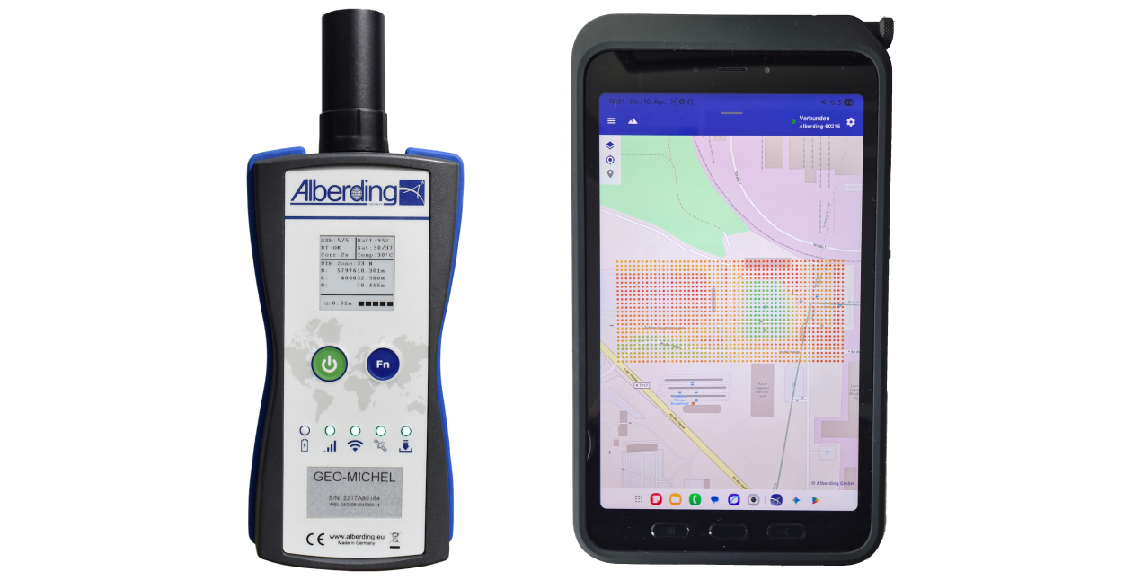
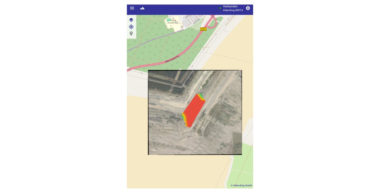
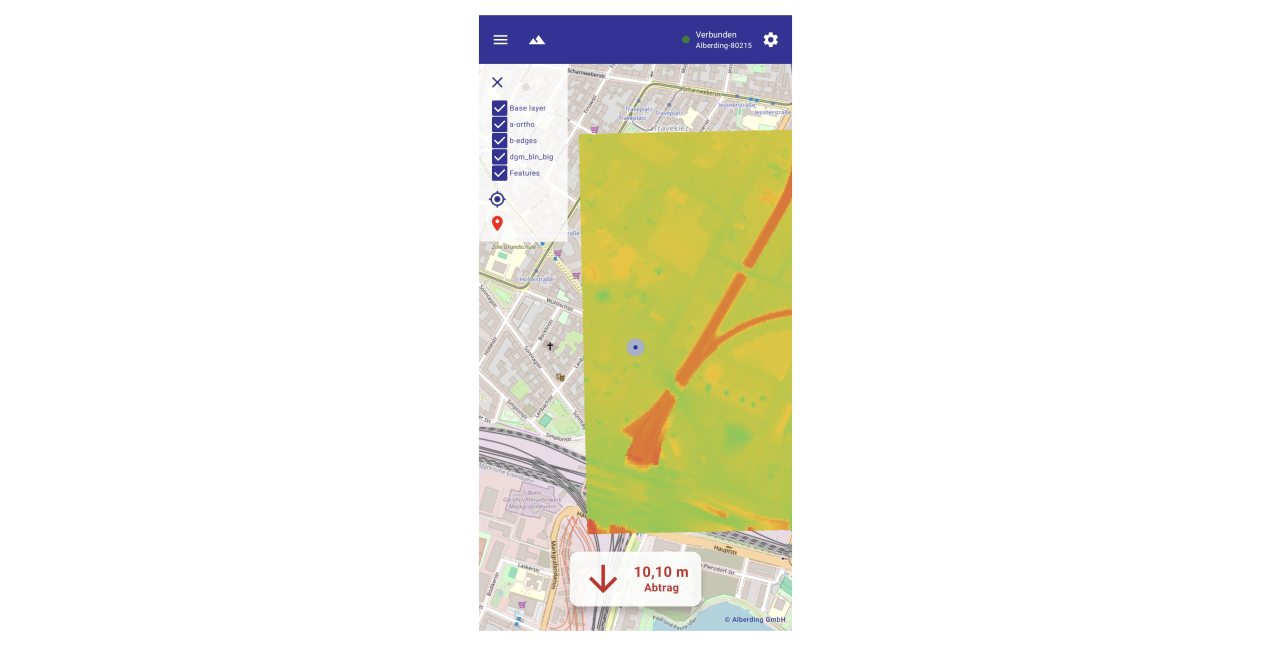
A08App – The mobile application for the A08-RTK GEO-MICHEL®
Take your terrain data straight out into the field and experience digital terrain models (DTMs) with unprecedented flexibility. Our app enables the seamless import of multiple terrain models and instantly displays elevation deviations, as well as additions and subtractions, visually on site. When used in combination with the A08-RTK GEO-MICHEL®, you benefit from precise GNSS measurements, automatic point veraging and flexible export options. Thanks to intelligent map integration, flexible data organisation and separate user rights management, ou retain full control during every measurement.
Best of all: the app continues to evolve in line with your requirements. You can already look forward to upcoming updates that will bring clever features such as stake-out and the precise setting-up of batter boards directly to your device.
Features at a glance
- Precise GNSS measurement
- Connection to the A08-RTK GEO-MICHEL® via Bluetooth
- Real-time display of position, altitude and GNSS quality
- Support for various coordinate formats and coordinate systems
- Automatic reconnection to the receiver
- Point Surveying and Documentation
- Recording and averaging of multiple GNSS measurements for high accuracy
- Assignment of individual point names
- Export of measurement data as a CSV file
- Storage of all measurement points, including elevation, quality and DTM information
- Digital Terrain Models (DTM)
- Import and management of multiple terrain models
- Display of elevation differences between current position and terrain
- Direct visualisation of elevation gains and losses
- Map display with DTM layers and current position
- Map integration
- Import of raster and vector maps
- Display of your own orthophotos and topographic maps
- Support for various map layers
- Centring and navigation within the map
- Data management
- Management of measurement points and log files
- Export and sharing of recorded data
- Administrator and standard user modes with different permissions