 About us


07/07/2025
SensorSOW project successfully completed
Sensors and assistance for more safety and automation on board
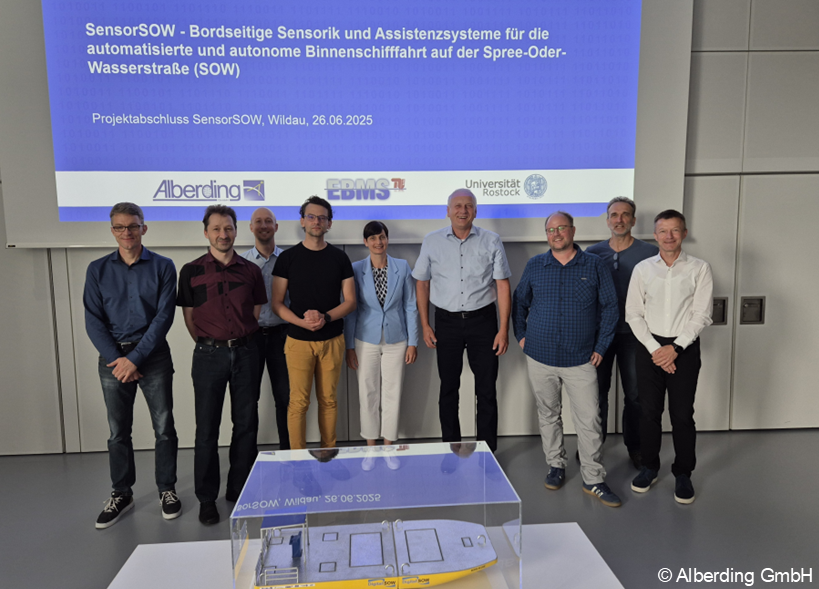
After two and a half years of intensive work, the SensorSOW project - On-board sensors and assistance systems for automated and autonomous inland navigation on the Spree-Oder waterway (SOW) has been successfully completed. The project partners presented their results at the final event on 26 June 2025 at the Aerospace Centre III in Wildau.
Working together for more safety and efficiency in inland navigation
Alberding GmbH from Wildau, the Department of Design and Operation of Maritime Systems at the Technical University of Berlin and the Institute of Automation Technology at the University of Rostock jointly pursued the goal of significantly improving safety, efficiency and automation on inland waterways through intelligent on-board sensor and assistance systems. The focus was on technologies for high-precision detection of the ship and its surroundings - both on the water surface and underwater.
LiDAR-based traffic situation detection
The Institute of Automation Technology at the University of Rostock has developed a LiDAR-based sensor application that detects, models and predicts the movement behaviour of other road users on inland waterways. The secondary measurement channels of modern LiDAR sensors were used specifically for the first time, which significantly increased the detection accuracy. This resulted in a system for the automated classification and dynamic route prediction of surrounding vehicles - including possible collision points.
Fairway detection using real-time sonar
The Department of Design and Operation of Maritime Systems at the Technical University of Berlin integrated a real-time sonar system into the test vessel ‘Boris Kluge’, which was developed as part of the DigitalSOW project. The bathymetric data obtained with this system is used for the early detection of underwater obstacles and the analysis of fairway depths. They therefore make a significant contribution to optimising energy consumption and safe route selection.
3D ship position and integrated assistance system
Alberding GmbH was responsible for the precise 3D ship position determination and the on-board assistance system. The focus was on a combined sensor unit on the ship's bow, which enables exact 3D positioning of the ship's bow and transmission of the field of view to the onboard assistance system. To ensure seamless and precise GNSS positioning, a multimedia correction data box was developed that combines GNSS correction data received via AIS/VDES, DAB+ and mobile internet.
In the intelligent assistance system, all sensor data from the three systems is bundled together with ship information and digital information on the navigability of the waterway, visually processed and provided to the skipper in real time with safety-relevant warnings and recommendations for action. The recorded data is also transmitted to the control centre via a secure broadband connection - an important technological basis for remote control in the future.
Real tests - real progress
The systems were successfully trialled under real conditions on the test vessels ‘Boris Kluge’ and ‘Bernhard Lampe’ in the digital test field at the SOW. The knowledge gained forms the basis for the next step: the transferability of the technologies to other ships and waterways in order to significantly improve their efficiency and safety.
Funding and strategic relevance
The project was funded by the Federal Ministry of Transport (BMV) with around 1.33 million euros as part of the ‘Digital Test Fields on Federal Waterways’ (DTW II) funding guideline. The SOW is an important test area for digital and automated technologies in inland navigation. SensorSOW contributes to further development, for example in the follow-up project DigitalSOW2 (DTW III), and to the nationwide strategy for safe and efficient shipping.
Further details on the project: www.testfeld-sow.de/projekt_SensorSOW.html (German)